Mist-Ready Navigation on Dartmoor Mornings
Understanding Moorland Mists and Microclimates
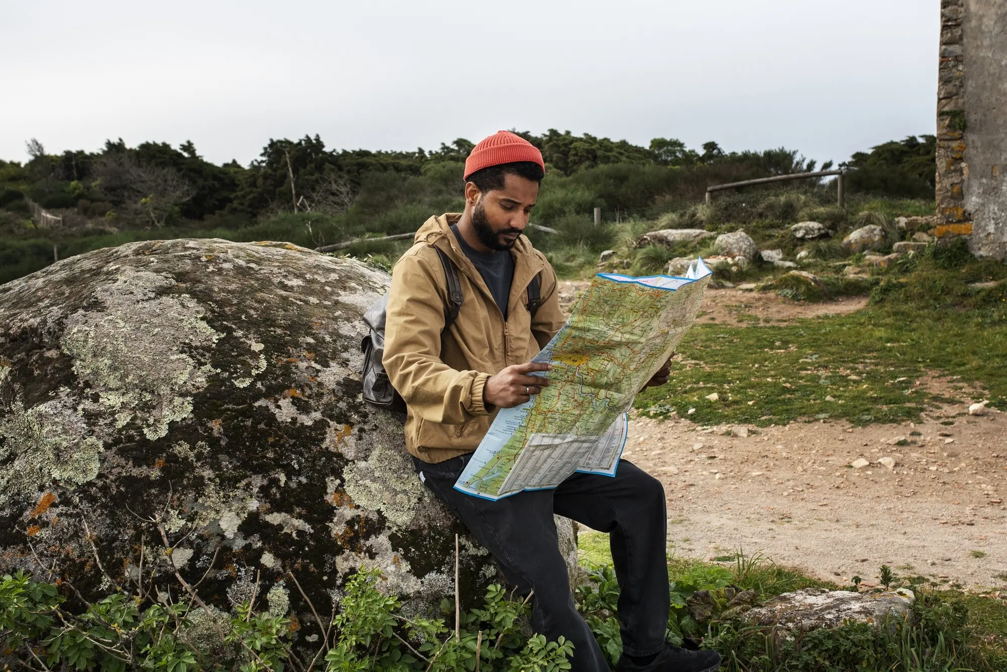
Decoding the Map with Dartmoor Detail
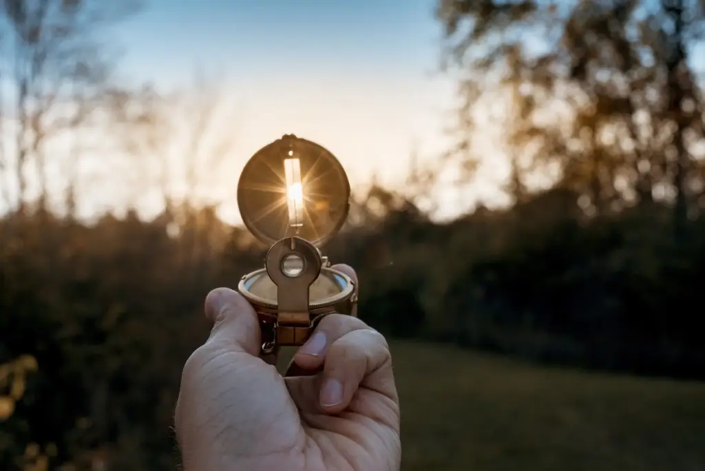
Compass Confidence in Pea-Soup Conditions
Setting and Following a Bearing
Orient the map to ground, draw your line between checkpoints, then set the capsule carefully and choose a distant, visible marker when possible. In fog, walk the needle, lock elbows, and minimize lateral drift. Build certainty by combining short legs, frequent checks, and small, deliberate corrections grounded in measured distance and time.
Adjusting for Norths
Different norths cause real confusion when visibility shrinks. Review true, grid, and magnetic north, then use the OS map’s current diagram for your grid-magnetic angle. The correction is small yet meaningful in fog. Standardize your process: grid bearings, then consistent adjustment, recorded clearly on your route card to avoid compounding errors.
Tactics That Keep You Found When You Cannot See
Handrails, Catching, and Collecting Features
Choose linear helpers like leats, walls, streams, or contouring paths to steer your line. Intentionally collect features—junctions, bends, boundary corners—then design catchers such as a stream crossing or tor base to stop overshoot. Count features, tick them mentally, and confirm each with pacing and timing before moving forward confidently.
Attack Points and Aiming Off
From a large, unmistakable feature—a junction, enclosure corner, or tor—launch short, precise legs to subtler objectives. Intentionally aim slightly left or right to guarantee hitting a linear handrail. If obstacles intervene, box around them methodically, maintaining distance and direction. Keep legs short, checklists simple, and corrections frequent yet calm.
Relocation Without Panic
Stop, breathe, observe, and think before moving. Orient the map to any available clue—wind, slope, a faint stream’s sound. Use a back bearing to your last certainty, or resection from two identifiable features when visibility flickers. Draw a containment box on your map, then sweep methodically until evidence aligns convincingly.
Planning Safer Dawn Routes and Managing Risk